

For Those Looking for an Alternative for ArcGIS Pro: Free QGIS
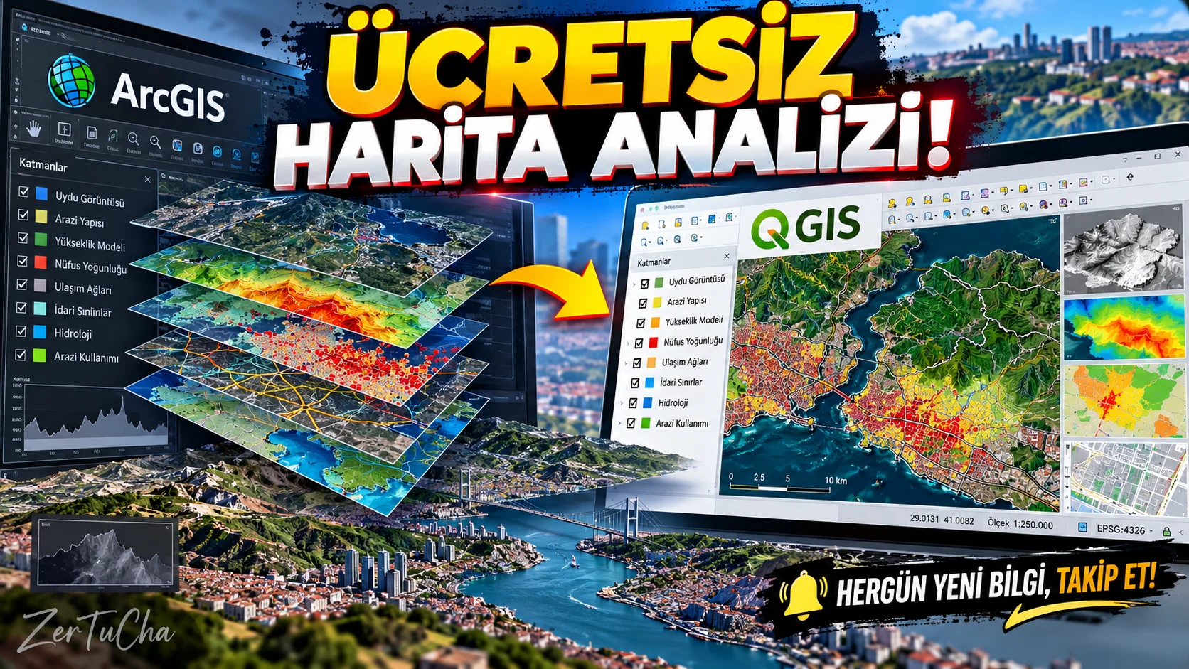
Main program and free alternative
- Paid product: ArcGIS Pro
- Free alternative: QGIS
- Supported desktop systems: Windows, macOS and Linux.
Fee and license status
QGIS is free and open source; It is distributed under the GNU GPL license. The official download page lists version 4.2.3, released on September 25, 2026, and the long-term support version 3.44.15, which prioritizes stability.
ArcGIS Pro is licensed through ArcGIS Online or ArcGIS Enterprise user types. Price and accessible features vary depending on the selected license level; It would not be correct to give a single global price valid for every user. QGIS
What does it do?
QGIS is used to examine, analyze and visualize location-related data on maps.
For example:
- You can map the population distribution in a city.
- You can compare the surface areas and population density of districts.
- You can analyze potential areas to open a business.
- You can examine agricultural lands or land use.
- You can prepare professional maps by combining different map layers.
- You can produce thematic maps and analysis results from location data.
QGIS can work with hundreds of spatial data formats and offers tools for professional map production. However, it should not be assumed that every data format and analysis method is supported to the same extent. QGIS
Advantages
- Available without license fee.
- Provides a broad set of tools for mapping and spatial analysis.
- Can work with different data sources.
- New functions can be added with plug-ins.
- Can be used in education, research, municipality, agriculture and environmental studies.
Disadvantages
- There may be a learning curve for those who are not familiar with map projects and coordinate systems.
- ArcGIS-specific enterprise services and workflows may not be directly transferable to QGIS.
- Some data sources and online services may require separate access or use conditions.
- For large data sets, the computer's hardware and data structure may affect performance.
Better for whom?
A powerful option for map makers, geography and urban planning students, researchers, environmental experts and those who want to analyze spatial data.
Recommended initial use
- Install QGIS from the official download page.
- Open a new project.
- Add a map layer.
- Check the coordinate system of the layer.
- Recognize the data by examining the attribute table.
- Classify the data and display it in different colors.
- Create map layout and export as PDF or image.
Official sources:
- QGIS download and version information
- QGIS license and documentation information
- ArcGIS Pro license options
You may need a professional program to create maps, analyze location data, or visualize data on a city. But you don't necessarily need to buy an expensive license for this.
There is QGIS. With this software, you can combine map layers, colorize the data, compare different regions and perform spatial analysis.
For example, if you want to show the population density in a city or examine the distribution of agricultural land in a certain region, QGIS may be useful.
ArcGIS Pro has paid licenses and enterprise ecosystem. You should check compatibility before switching to QGIS, especially if you depend on specific Esri services and on-premises workflows.
But if you want to produce maps, analyze geographic data, or are just getting started in this field, you have a very strong reason to try QGIS: You don't pay a license fee to use the program.




Henüz yorum yapılmamış. İlk yorumu siz yapın!
Bir Yorum Bırakın